Stewart- Hyder
This Is Remote Wilderness!
Hyder is a census-designated place (CDP) in Prince of Wales-Hyder Census Area, Alaska, United States. The population was 87 at the 2010 census. Hyder has achieved fame as a point in Alaska accessible to automobile and motorbike travelers in Canada and the USA who want to say that they have been to Alaska. Hyder is also the easternmost town in Alaska.
Geography
Hyder is located at
55°56′29″N 130°3′16″W / 55.94139°N 130.05444°W (55.941442, -130.054504), at the head of the Portland Canal, a 130-mile (210 km) long fjord which forms a portion of the border between the U.S. and Canada at the southeastern edge of the Alaska Panhandle. It sits about 2 miles (3.2 km) from Stewart, British Columbia by road, and 75 miles (121 km) from Ketchikan by air.
Transportation
Stewart, British Columbia is 2 miles (3 km) away by road via International Street. Besides a few local roads, NF-88 heads north and enters Canada and no other roads connect Hyder with the rest of Alaska.
The AMHS ferry that used to connect Hyder to Ketchikan stopped running in the 1990s, leaving the only public transportation between Hyder and the rest of Alaska the Taquan Air floatplane that arrives twice a week with U.S. Mail at Hyder Seaplane Base.
Alaska State Troopers patrol the town, but are not located in town. The nearest policing is sometimes provided by stopovers by the Stewart Royal Canadian Mounted Police (RCMP) Detachment from the Canadian side. There is no fire or EMS services in town. When required they are provided by nearby Stewart:
A Canada Border Services Agency customs post is located 100 yards from the town and used by all visitors and residents as it provides the only road connecting out of Hyder.History
The Nisga'a, who lived around the Nass River, called the head of Portland Canal "Skam-A-Kounst," meaning safe place, probably because it served them as a retreat from the harassment of the Haidas on the coast. They traveled in the area seasonally to pick berries and hunt birds.
The area around the Portland Canal was explored in 1896 by Captain D.D. Gaillard of the U.S. Army Corps of Engineers.
In 1898, gold and silver lodes were discovered in the region, mainly on the Canadian side, in the upper Salmon River basin. The Stewart brothers, for whom the British Columbia town was named, arrived in 1902.
Hyder was established in 1907 as Portland City, after the canal. In 1914, when the US Post Office Department told residents that there were many U.S. communities named Portland, it was renamed Hyder, after Frederick Hyder, a Canadian mining engineer who envisioned a bright future for the area. Hyder was the only practical point of access to the silver mines in Canada; the community became the port, supply point, and post office for miners by 1917. Hyder's boom years were the 1920s, when the Riverside Mine on the U.S. side extracted gold, silver, copper, lead, zinc, and tungsten. The mine operated from 1924 to 1950.
In 1948, the abandoned part of Hyder, which was built on pilings, was destroyed by fire. By 1956 all significant mining had ceased, except for the Granduc Mine on the Canadian side, which operated until 1984. Currently, Westmin Resources Ltd. operates the only remaining mine in the area, a gold-and-silver mine on the Canadian side.
Hyder is accessible by highway from Stewart, which connects with the British Columbia highway system. Hyder became popular with long distance motorcycle riders in 1998 when author Ron Ayres set a record of riding to the contiguous 48 states in six days. Ayres went on to add to the 48 state record by continuing on to Hyder, Alaska to establish a new 49-state record of 7 days, 0 hours and 20 minutes. Ayres named the new long distance ride the "48 Plus" and the 49-state ride has become very popular with members of the long distance motorcycle riding Iron Butt Association.
Hyder is also the location of the annual Hyder Seek gathering of long-distance motorcyclists who travel from all over North America each Memorial Day weekend.
Local notoriety
Hyder has some notoriety as the place where people become "Hyderized." Two of the town's bars issue certifications to patrons of being "Hyderized" if the patron consumes a shot of 151 proof (75.5% alcohol) Everclear.
Canadian and British Columbian influence on culture
Hyder is notable for being the only place in Alaska not to use the 907 area code, instead using British Columbia's 250. Tourists also find that Hyder uses the Pacific Time Zone (most of the rest of Alaska uses the Alaska Time Zone [UTC-9].), the "preferred" currency is Canadian (except the U.S. Post Office, which accepts only American currency), observes Canadian holidays, send their children to a Canadian school, and calling the police means an RCMP "mountie" will respond. Electricity comes from Canada, as the local electric utility is British Columbia's BC Hydro. Hyder and Stewart share a mutual international Chamber of Commerce.
We traveled Up A Remote Dirt Road
From Hyder To:
The Salmon Glacier is a glacier located ~25 km (16 mi) north of Stewart, British Columbia, and Hyder, Alaska, just on the Canadian side of the border. The glacier, one of hundreds in the Boundary Ranges, is notable for its major potential as a natural hazard. Summit Lake is located at the northern end of the glacier and every year around mid-July the lake breaks an ice-dam and then flows under the Salmon Glacier into the Salmon River. This causes the river to rise approximately 4–5 ft (1.2–1.5 m) for several days.
The road up to Salmon Glacier has steep banks and drop offs!
Best for 4X4 Vehicles Only (Cars) [Carefully] or (Trucks)!
It's A Long Ways Down There!
The Road Was Wide Enough For One Vehicle!
BUT
What Scenery Along The way!
Streams!
Majestic Mountain Peaks!
Our First Glimpse Of The Glacier!
It Doesn't Look Real!
We Are Much Higher Looking Down!
Enjoy The Pictures!
They Can Do The Talking!
Another WOW Moment On Our Tour!
You Can See How The Glacier Goes Both Right And Left!
Nancy, Joey, Tim & Richard Enjoying The View
Joey & Tim
Diana, Joan, Joey & Nancy
You Never Know Who You'll See And Where!
This Modern Motorhome was shipped over to the US
Would They Be Willing to Become FMCA Members?
Diana & Tim
Hi Mary Ann!
Looks Like A Picture Behind Us!
Irene on the Edge!
The "Don" Taking it all in!
Got It!
We Continued Up Past The Glacier On The Dirt Road!
Marmot Checking Us Out!
Next We Found An Old Tunnel
Which Use To Be Part Of The Road!
We DID!
I Can See The End Way Up There!
View Of The Glacier From The Upper Side!
Amazing What You See Where!
Glad To See This Brad!!!
Aura, Nancy, Bill, Joan, Leo, Tim, Chris, Skip & Diana
Everyone Seems To Take Pictures When I Take Pictures - UMMHHH!
Hi Skip!
Hi Walter!
Worth Taking Pictures Of!
The Other End Of The Tunnel!
This Led To An Old Mechanical Room
When We Peeked In We Saw Lots Of Ice In It!
Some Didn't Venture In!
This Is The Upper End Of The Tunnel!
This Held Two Old Lights.
One Green And One Red
Near The Entrance Of The Tunnel!
More Fireweed!
Other Plants We Saw
Diana & Mary
Next We Traveled Back Down The Road
And
Found An Old Side Road.
We Saw Some VERY Interesting Rocks!
Charles Enjoying The View!
All 360 Degrees Of It!
Tim & Ruth
Could This Be GOLD!!
Maybe!
Charles, Ruth, Mary & Diana!
The Mountains Seemed To Make Their Own Weather!
Small Glacial Lake With An Iceberg In It!
As We Got Closer To Hyder On Our Return
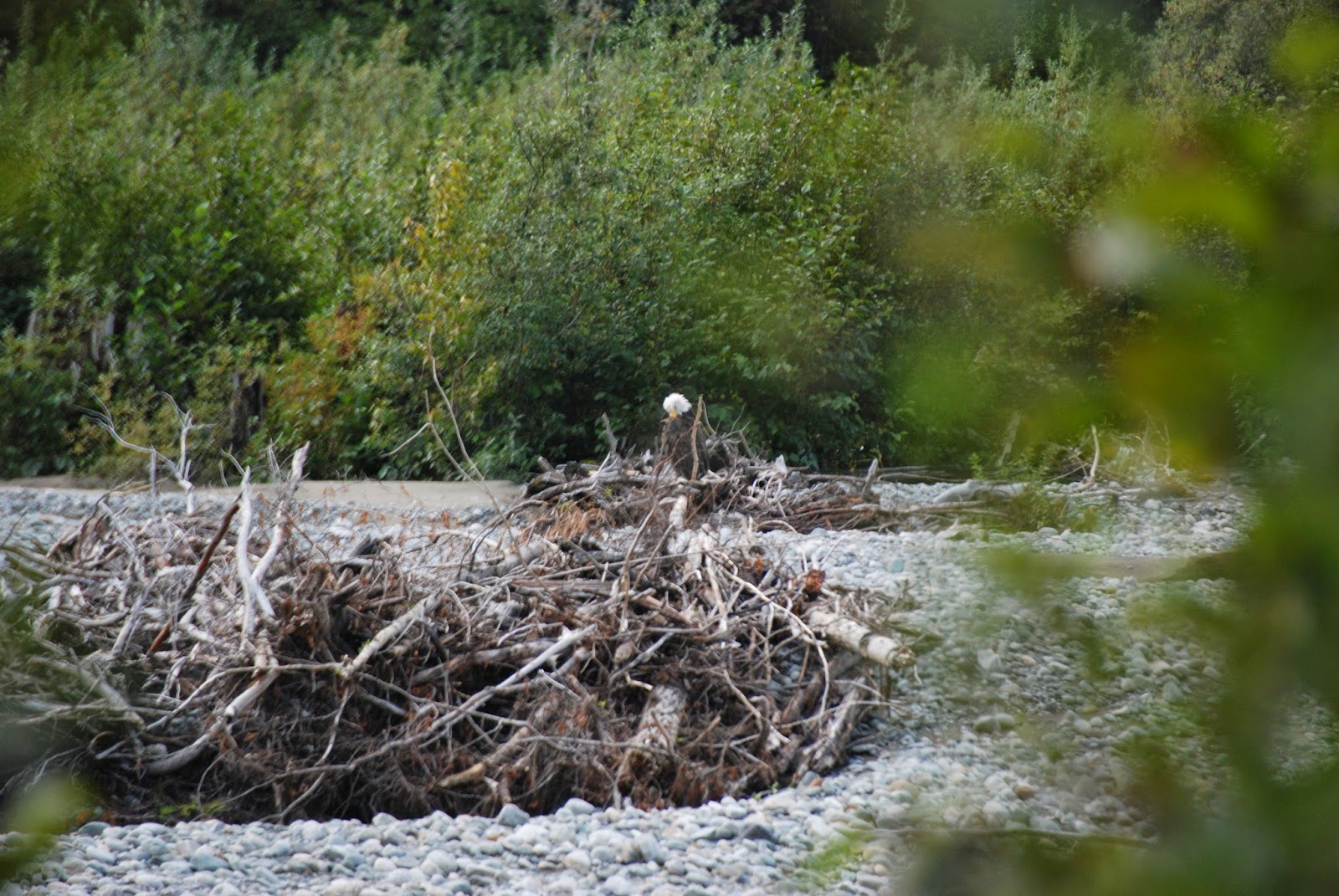
We Spotted Another Bald Eagle!
A Barge Loading Logs In Stewart!
OOPPS - Lost One!
This Boat Pushes The Logs Into Place!
GEEZ - Amazing It Even Floats!
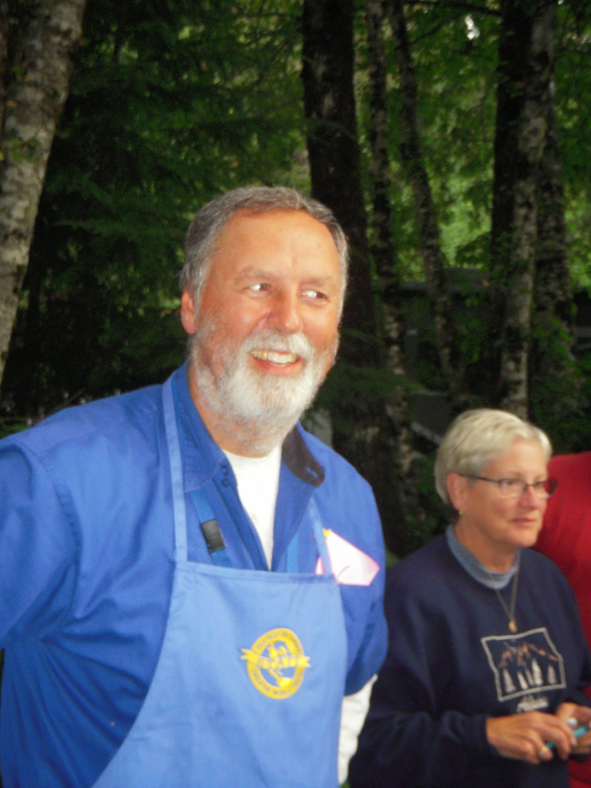
During The Tour We Had A Beard Growing Contest.
The Winner Is
The "Don"
Someone Kept Pulling The Hair From My Jowls!
But It Was FUN!
Nice Job Skip!
And So Ended Another Great Day!


No comments:
Post a Comment