On To Anchorage!
This morning we left Fairbanks and headed to Anchorage.
Again the scenery is amazing each and every day.
This was no exception!
A Mother Black Bear Ran In Front Of Us With Two Cubs.
She Stopped, Turned And Stood Up To Get A Good Look At Us In The Tall Brush!
This Picture Represents Much Of The Scenery We Saw
As We Traveled Down The Highway in Alaska.
Simply Stunning!
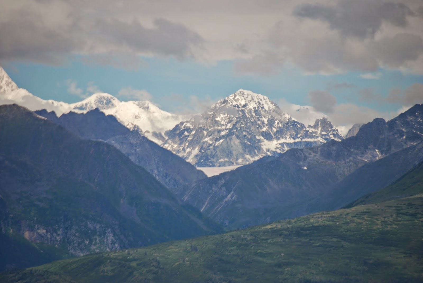
We Stopped At The Southern Observation Point For Mt. McKinley
For One More Sight Of The Majestic Mountain!
Cool Picture Shot With Telephoto Lens.
And Its Neighboring Peaks!
As Usual The Flowers And Plants Were Fantastic As Well!
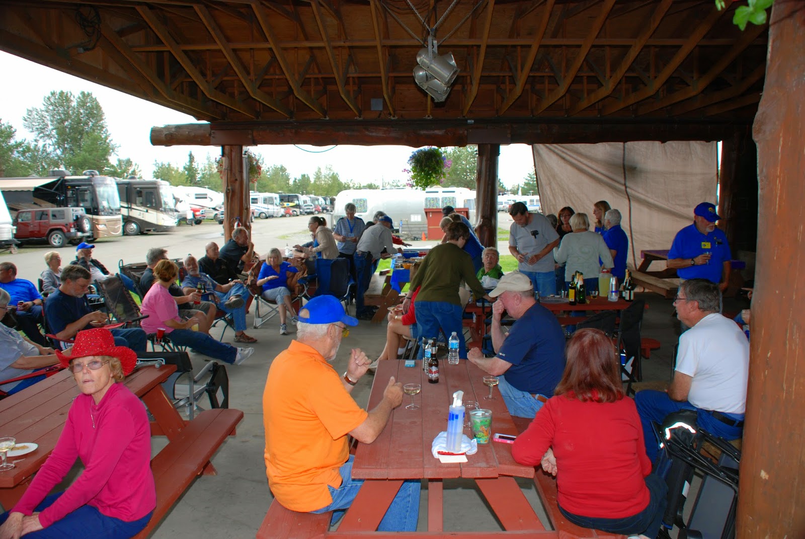
At Our Campground That Evening, We All Celebrated
As Tim And Joey Were Able To Rejoin Our Group
After Dealing With Some Mechanical Issues.
WELCOME BACK!!
What's A Celebration Without A Party!
Cake And Lots Of Food Of Course!
Dig In!
Since They Had A New RV
We Presented Them With Their New Official Fantasy RV Sticker and Numbers.
Number 12 Of Course!
Now They Are OFFICIALLY Back With Us Again!
The 1964 Alaskan earthquake, also known as the Great Alaskan Earthquake and Good Friday Earthquake, was a megathrust earthquake that began at 5:36 P.M. AST on Good Friday, March 27, 1964. Across south-central Alaska, ground fissures, collapsing structures, and tsunamis resulting from the earthquake caused about 139 deaths.
Lasting four minutes and 38 seconds, it was the most powerful recorded earthquake in U.S. and North American history, and the second most powerful ever measured by seismograph. It had a moment magnitude of 9.2, making it the second strongest earthquake in recorded history—the strongest being the 1960 Valdivia earthquake in Chile.
The powerful earthquake caused soil liquefaction in the region. Ground fissures and failures caused major structural damage in several communities, much damage to property and several landslides. Anchorage sustained great destruction or damage to many inadequately earthquake engineered houses, buildings, and infrastructure (paved streets, sidewalks, water and sewer mains, electrical systems, and other man-made equipment), particularly in the several landslide zones along Knik Arm. Two hundred miles southwest, some areas near Kodiak were permanently raised by 30 feet (9.1 m). Southeast of Anchorage, areas around the head of Turnagain Arm near Girdwood and Portage dropped as much as 8 feet (2.4 m), requiring reconstruction and fill to raise the Seward Highway above the new high tide mark.
In Prince William Sound, Port Valdez suffered a massive underwater landslide, resulting in the deaths of 30 people between the collapse of the Valdez city harbor and docks, and inside the ship that was docked there at the time. Nearby, a 27-foot (8.2 m) tsunami destroyed the village of Chenega, killing 23 of the 68 people who lived there; survivors out-ran the wave, climbing to high ground. Post-quake tsunamis severely affected Whittier, Seward, Kodiak, and other Alaskan communities, as well as people and property in British Columbia, Oregon, and California. Tsunamis also caused damage in Hawaii and Japan. Evidence of motion directly related to the earthquake was reported from all over the earth.
As a result of the earthquake, 139 people are believed to have died: 15 died as a result of the earthquake itself, 106 died from the subsequent tsunami in Alaska, 5 died from the tsunami in Oregon, and 13 died from the tsunami in California. The quake was a reported XI on the modified Mercalli Intensity scale "indicating major structural damage, and ground fissures and failures".Property damage was estimated at about $311 million ($2.28 billion in current U.S. dollars).
Anchorage area
Most damage occurred in Anchorage, 75 mi (120 km) northwest of the epicenter. Anchorage was not hit by tsunamis, but downtown Anchorage was heavily damaged, and parts of the city built on sandy bluffs overlying "Bootlegger Cove clay" near Cook Inlet, most notably the Turnagain neighborhood, suffered landslide damage. The neighborhood lost 75 houses in the landslide, and the destroyed area has since been turned into Earthquake Park. The Government Hill school suffered from the Government Hill landslide leaving it in two jagged, broken pieces. Land overlooking the Ship Creek valley near the Alaska Railroad yards also slid, destroying many acres of buildings and city blocks in downtown Anchorage. Most other areas of the city were only moderately damaged. The 60-foot concrete control tower at Anchorage International Airport was not engineered to withstand earthquake activity and collapsed, killing one employee.
One house on W. 10th Avenue suffered peripheral damage, but only one block away the recently completed (and still unoccupied) Four Seasons Building on Ninth Avenue collapsed completely, with the concrete elevator shafts sticking up out of the rubble like a seesaw.
The hamlets of Girdwood and Portage, located 30 and 40 mi (60 km) southeast of central Anchorage on the Turnagain Arm, were destroyed by subsidence and subsequent tidal action. Girdwood was relocated inland and Portage was abandoned. About 20 miles (32 km) of the Seward Highway sank below the high-water mark of Turnagain Arm; the highway and its bridges were raised and rebuilt in 1964-66.
Here We Are in Earthquake Park!
View Of Anchorage From The Park Looking Across Cook Inlet.
Views Of Anchorage From An Adjacent Overlook.
Lake Hood Seaplane Base
Lake Hood Seaplane Base - Lake Hood is the world's busiest seaplane base, handling an average of 190 flights per day. It is located on Lakes Hood and Spenard, next to Ted Stevens Anchorage International Airport, three miles from downtown Anchorage.Although most U.S. airports use the same three-letter location identifier for the FAA and IATA, Lake Hood is assigned LHD by the FAA.
Facilities and aircraft

FAA Alaska airport diagram
Lake Hood Seaplane Base has three seaplane landing areas: E/W is 4,540 by 188 feet (1,384 x 57 m); N/S is 1,930 by 200 feet (588 x 61 m); NW/SE is 1,370 by 150 feet (418 x 46 m).
Lake Hood Strip has one runway designated 14/32 with a gravel surface measuring 2,200 by 75 feet (671 x 23 m).
For 12-month period ending August 1, 2005, the seaplane base had 69,400 aircraft operations, an average of 190 per day: 88% general aviation, 12% air taxi and <1% military. There are 781 aircraft based at this seaplane base: 97% single engine and 3% multi-engine.

That Evening We Had Dinner At
The Sourdough Mining Company!
Before Dinner We Saw Many Unusual Sights In The Building!

Just In Case You Had Other Ideas!
Wagonmaster Bill - Time To Eat Dinner!!!
Leo Chose More Subdued Friends Before Dinner!
Joey All Snuggled Up In A Fur Coat!
Peek-A-Boo!
Joe Has Other Things On His Mind!
Can You Guess?
Mary Anne & Dale
Now Be Patient!
Nancy Says You Have An Appetite Like A Bear Tonight?!?
Suzanne Enjoying The Ribs!
And So Another Day Ends!


No comments:
Post a Comment