On our way to the
Alaska Highway!


This is mid day in Grand Prairie.
This was the worst smoke we encountered on our trip!
It was actually sickening!

Our campground in Dawson Creek!

The hall for our social had really nice wood floors.
BUT- They had a rule!
NO SHOES ALLOWED!!!!
So we did a sock night!

OK DON!
I guess panty hose are allowed?!?!

What a variety!
We all got into it way too much!
What Fun!

Bring on the Food!


Mile "0"

An informal system of historic mileposts developed over the years to denote major stopping points; Delta Junction, at the end of the highway, makes reference to its location at "Historic Milepost 1422." It is at this point that the Alaska Highway meets the Richardson Highway, which continues 155 km (96 mi) to the city of Fairbanks. This is often regarded, though unofficially, as the northern portion of the Alaska Highway, with Fairbanks at Historic Milepost 1520. Mileposts on this stretch of highway are measured from Valdez, rather than the Alaska Highway. The Alaska Highway is popularly (but unofficially) considered part of the Pan-American Highway, which extends south (despite its discontinuity in Panama) to Argentina.
Construction
Proposals for a highway to Alaska originated in the 1920s. Thomas MacDonald, director of the U.S. Bureau of Public Roads, dreamed of an international highway spanning the United States and Canada. In order to promote the highway, Slim Williams originally traveled the proposed route by dogsled. Since much of the route would pass through Canada, support from the Canadian government was crucial. However, the Canadian government perceived no value in putting up the required funds to build the road, since the only part of Canada that would benefit was not more than a few thousand people in the Yukon.However, some route consideration was given. The preferred route would pass through the Rocky Mountain Trench from Prince George, British Columbia to Dawson City before turning west to Fairbanks, Alaska.
In 1929 the British Columbia government proposed a highway to Alaska to encourage economic development and tourism. American President Herbert Hoover appointed a board with American and three Canadian members to evaluate the idea. Its 1931 report supported the idea for economic reasons, but both American and Canadian members recognized that a highway would benefit the American military in Alaska; the Great Depression and the Canadian government's lack of support caused the project to not proceed. When the United States approached Canada again in February 1936, the Canadian government refused to commit to spending money on a road connecting the United States. The Canadians also worried about the military implications, fearing that in a war between Japan and North America, the United States would use the road to prevent Canadian neutrality. During a June 1936 visit to Canada, President Franklin D. Roosevelt told Prime Minister W. L. M. King that a highway to Alaska through Canada could be important in quickly reinforcing the American territory during a foreign crisis. Roosevelt became the first American to publicly discuss the military benefits of a highway in a August speech in Chautauqua, New York. He again mentioned the idea during King's visit to Washington in March 1937, suggesting that a $30 million highway would be helpful as part of a larger defense against Japan that included, the Americans hoped, a larger Canadian military presence on the Pacific coast. Roosevelt remained a supporter of the highway, telling Cordell Hull in August 1937 that he wanted a road built as soon as possible.[4]
The attack on Pearl Harbor and beginning of the Pacific Theater in World War II, coupled with Japanese threats to the west coast of North America and the Aleutian Islands, changed the priorities for both nations. On February 6, 1942 the construction of the Alaska Highway was approved by the United States Army and the project received the authorization from the U.S. Congress and Roosevelt to proceed five days later. Canada agreed to allow construction as long as the United States bore the full cost, and that the road and other facilities in Canada be turned over to Canadian authority after the war ended.

The needs of war dictated the final route, intended to link the airfields of the Northwest Staging Route that conveyed lend-lease aircraft from the United States to the Soviet Union. Thus the long, impractical route over difficult terrain was chosen.
The road was originally built mostly by the U.S. Army Corps of Engineers as a supply route during World War II. There were four main thrusts in building the route: southeast from Delta Junction, Alaska toward a linkup at Beaver Creek, Yukon; north then west from Dawson Creek (an advance group started from Fort Nelson, British Columbia after traveling on winter roads on frozen marshland from railway stations on the Northern Alberta Railways); both east and west from Whitehorse after being ferried in via the White Pass and Yukon Route railway. The Army commandeered equipment of all kinds, including local riverboats, railway locomotives, and housing originally meant for use in southern California.
Although it was completed on October 28, 1942 and its completion was celebrated at Soldier's Summit on November 21 (and broadcast by radio, the exact outdoor temperature censored due to wartime concerns), the "highway" was not usable by general vehicles until 1943. Even then there were many steep grades, a poor surface, switchbacks to gain and descend hills, and few guardrails. Bridges, which progressed during 1942 from pontoon bridges to temporary log bridges, were replaced with steel bridges where necessary. A replica log bridge, the Canyon Creek bridge, can be seen at the Aishihik River crossing; the bridge was rebuilt in 1987 and refurbished in 2005 by the Yukon government as it is a popular tourist attraction. The easing of the Japanese invasion threat resulted in no more contracts being given to private contractors for upgrading of specific sections.
Some 100 miles (160 km) of route between Burwash Landing and Koidern, Yukon, became nearly impassable in May and June 1943, as the permafrost thawed, no longer protected by a layer of delicate vegetation. A corduroy road was built to restore the route, and corduroy still underlays old sections of highway in the area. Modern construction methods do not allow the permafrost to thaw, either by building a gravel berm on top or replacing the vegetation and soil immediately with gravel. The Burwash-Koidern section, however, is still a problem as the new highway built there in the late 1990s continues to experience frost heave.
In 1993 Brian Corntassel and Tony Leonard of HW Lochner Inc, Chicago Civil Engineers proposed the Juneau Access Project through the Taku River valley into Canada and from Juneau up the West Lynn canal Juneau to Haines, Haines to Skagway and Taku River route Juneau to Atlin BC with 13 Ferry Transportation, 94 bridges and 17 Glacierial Tunnels for ADOT&PF. The plans were documented in metric units for the Canadian portion of the design, drawn in standard then computer files were scaled and matched together perfectly at demonstration. The EPA enforced cooperating with the design to avoid all American eagles nests and Native American Brian Corntassel represented the Birds natural habitat and highway plans simultaneously through the projects successful completion.
Post war
The original agreement between Canada and the United States regarding construction of the highway stipulated that its Canadian portion be turned over to Canada six months after the end of the war.This took place on April 1, 1946 when the U.S. Army transferred control of the road through the Yukon and British Columbia to the Canadian Army, Northwest Highway System. The Alaskan section was completely paved during the 1960s; largely gravel even in 1981, the Canadian portion of the Alaska Highway is now completely paved, mostly with bituminous surface treatment.The Milepost, an extensive guide book to the Alaska Highway and other highways in Alaska and Northwest Canada, was first published in 1949 and continues to be published annually as the foremost guide to traveling the highway.
The Alaska Highway was built for military purposes and its route was not ideal for postwar development of northern Canada. Rerouting in Canada has shortened the highway by approximately 35 miles (56 km) since 1947, mostly by eliminating winding sections and sometimes by bypassing residential areas. The historic milepost markings are therefore no longer accurate but are still important as local location references. Some old sections of the highway are still in use as local roads, while others are left to deteriorate and still others are plowed up. Four sections form local residential streets in Whitehorse and Fort Nelson, and others form country residential roadways outside of Whitehorse. Although Champagne, Yukon was bypassed in 2002, the old highway is still completely in service for that community until a new direct access road is built.
The Milepost shows the Canadian section of the highway now to be approximately 1,187 miles (1,910 km), but the first milepost inside Alaska is 1222. The actual length of the highway inside Alaska is no longer clear because rerouting, as in Canada, has shortened the route, but unlike Canada, mileposts in Alaska are not recalibrated. The BC and Yukon governments and Public Works Canada have recalibrated kilometre posts. The latest BC recalibration was carried out in 1990; using its end-point at the border at Historic Mile 630, the Yukon government has recalibrated in three stages: in 2002, from Mile 630 to the west end of the Champagne revision; in fall 2005, to a point just at the southeast shore of Kluane Lake, and in fall 2008, to the border with Alaska.
There are historical mileposts along the B.C. and Yukon sections of the highway, installed in 1992, that note specific locations, although the posts no longer represent accurate driving distance. There are 80 mileposts in B.C., 70 in the Yukon and 16 in Alaska with a simple number marker of the original mile distance. There are 31 "historic signs" in B.C., 22 in Yukon and 5 in Alaska, identifying the significance of the location. There are 18 interpretive panels in B.C., 14 in Yukon and 5 in Alaska which give detailed text information at a turn-off parking area.
The portion of the Alaska Highway in Alaska is designated Alaska Route 2. In the Yukon, it is Highway 1 and in British Columbia, Highway 97. The portion of the Alaska Highway in Alaska was planned to become part of the United States Numbered Highway System, and to be signed as part of U.S. Route 97. The portion of the Alaska Highway in Alaska is also unsigned Interstate A-1 and unsigned Interstate A-2.
Residents and travelers, and the government of the Yukon, do not use "east" and "west" to refer to direction of travel on the Yukon section, even though this is the predominant bearing of the Yukon portion of the highway; "north" and "south" are used, referring to the south (Dawson Creek) and north (Delta Junction) termini of the highway. This is an important consideration for travelers who may otherwise be confused, particularly when a westbound travel routes southwestward or even due south to circumvent a natural obstacle such as Kluane Lake.
Dawson Creek


All The Ladies First!

OK Ladies
Can the Men Get a Picture Too?

And Now The Men!
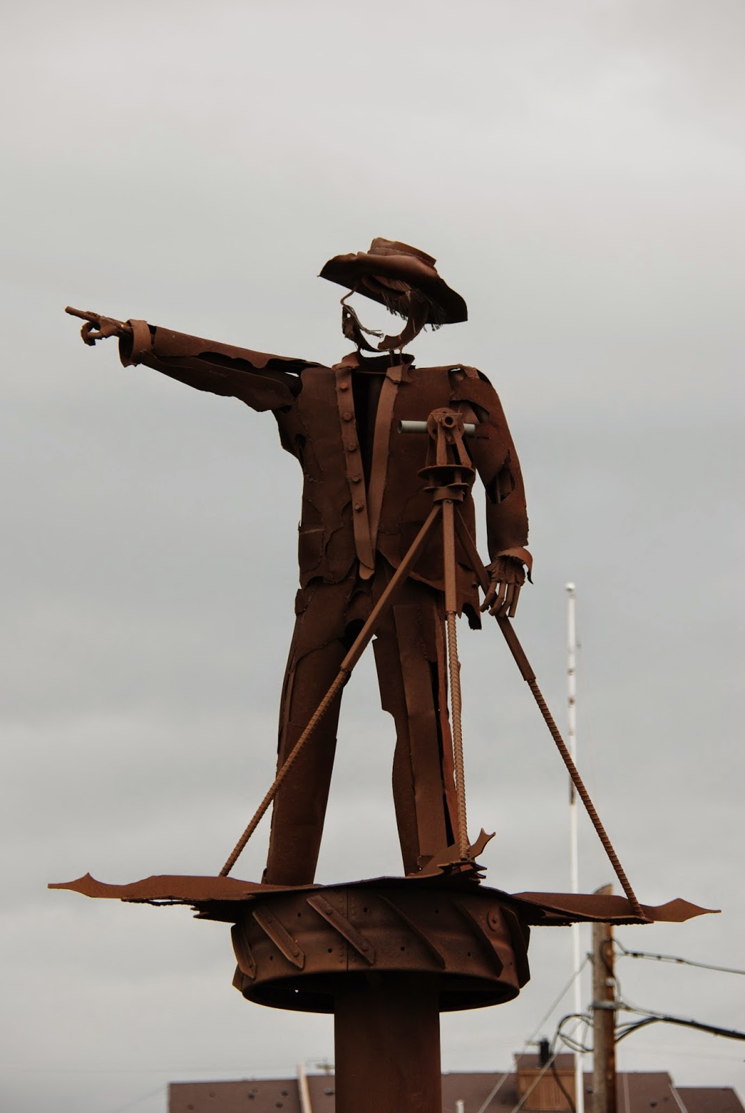
You head that-a-way!

Downtown Dawson Creek
The yellow back there is Canola Fields!
See!

We saw soo many Canola Fields!

This bakery right next to the visitor center
had the best pastries!!
A museum in town had this!

Oldest homemade snowmobile
I've seen!!

Carved from a moose antler!
OK
This segment was cool for us personally!
In the museum they had pictures of
the upcoming "Sign Forest" in Watson Lake
from back in the 70's and before!
Joan hollered to me
Willsboro!
is my old home town.

My parents while Wagonmasters for "Tracks"
had put up a Willsboro sign on one of their trips into Alaska!


Joan's ready to Start!

This is where we are headed!

Next Stop
Fort Nelson!
No comments:
Post a Comment