Missouri River Headwaters
The Lewis and Clark decision not to call the Jefferson the Missouri has spurred debate over what is the longest river in North America since the Missouri and Mississippi are nearly identical in length. The Missouri traditionally had been called the longest river in North America. However, 72 miles of it have been trimmed off in re-channeling its streambed—mainly for the many hydroelectric power plants in the region— so that it is now sometimes referred as second to the Mississippi in terms of length. If the Jefferson were included in the Missouri length, it would technically still be considered the longest river by the USGS experts.
The utmost headwaters of the Missouri are subject to debate but both locations ultimately drain into the Jefferson. Lewis on August 12, 1805 said he visited the headwaters on Trail Creek just above Lemhi Pass on the Continental Divide in the Beaverhead Mountains at around 8,600 feet which he described:
- the most distant fountain of the waters of the mighty Missouri in surch(sic) of which we have spent so many toilsome days and wristless(sic) nights.
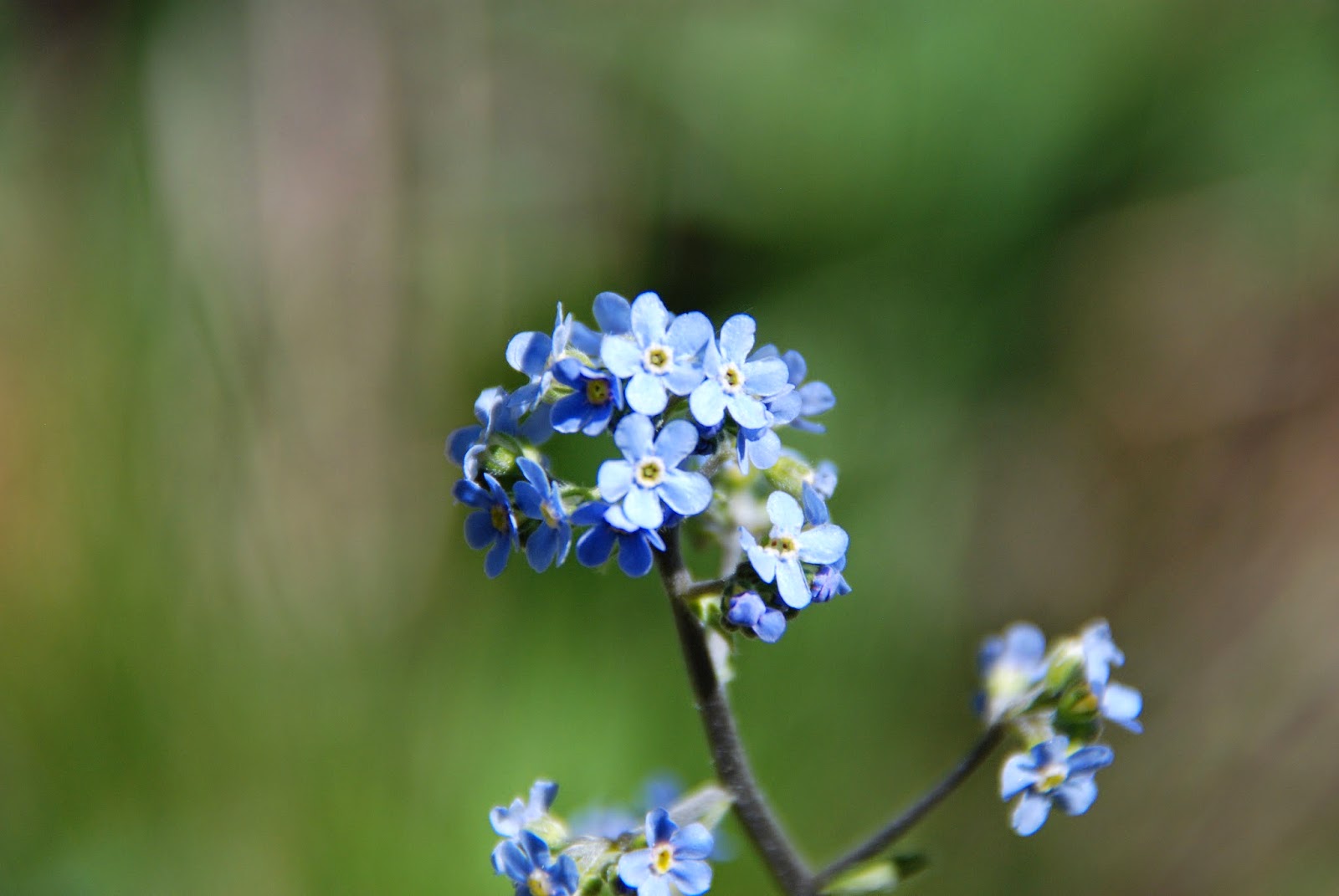
On our walk up the Trail Creek path we encountered numerous spring flowers once more.


Amazing moss growing on the side of the trees!


These pictures are from the "Headwaters of the Missouri River on Trail Creek!


Straddling the Missouri River Headwaters!

Joan wanted me to take the picture real quick as her toes were freezing!!!

Next we travel to Bannack State Park

Old abandoned building enroute
to
Bannack State Park
Bannack is a ghost town in Beaverhead County, Montana, United States, located on Grasshopper Creek, approximately 11 miles (18 km) upstream from where Grasshopper Creek joins with the Beaverhead River south of Dillon.Founded in 1862 and named after the local Bannock Indians, it was the site of a major gold discovery in 1862, and served as the capital of Montana Territory briefly in 1864, until the capital was moved to Virginia City. Bannack continued as a mining town, though with a dwindling population. The last residents left in the 1970s.
At its peak, Bannack had a population of about ten thousand. Extremely remote, it was connected to the rest of the world only by the Montana Trail. There were three hotels, three bakeries, three blacksmith shops, two stables, two meat markets, a grocery store, a restaurant, a brewery, a billiard hall, and four saloons. Though all of the businesses were built of logs, some had decorative false fronts.
Among the town's founders was Dr. Erasmus Darwin Leavitt, a physician born in Cornish, New Hampshire, who gave up medicine for a time to become a gold miner. Dr. Leavitt arrived in Bannack in 1862, and alternately practiced medicine and mined for gold with pick and shovel. "Though some success crowned his labors," according to a history of Montana by Joaquin Miller, "he soon found that he had more reputation as a physician than as a miner, and that there was greater profit in allowing someone else to wield his pick and shovel while he attended to his profession." Subsequently, Dr. Leavitt moved on to Butte, Montana, where he devoted the rest of his life to his medical practice
Bannack's sheriff, Henry Plummer, was accused by some of secretly leading a ruthless band of road agents, with early accounts claiming that this gang was responsible for over a hundred murders in the Virginia City and Bannack gold fields and trails to Salt Lake City. However, because only eight deaths are historically documented, some modern historians have called into question the exact nature of Plummer's gang, while others deny the existence of the gang altogether. In any case, Plummer and two compatriots, both deputies, were hanged, without trial, at Bannack on January 10, 1864. A number of Plummer's associates were lynched and others banished on pain of death if they ever returned. Twenty-two individuals were accused, informally tried, and hanged by the Vigilance Committee (the Montana Vigilantes) of Bannack and Virginia City.Nathaniel Pitt Langford, the first superintendent of Yellowstone National Park, was a member of that vigilance committee.
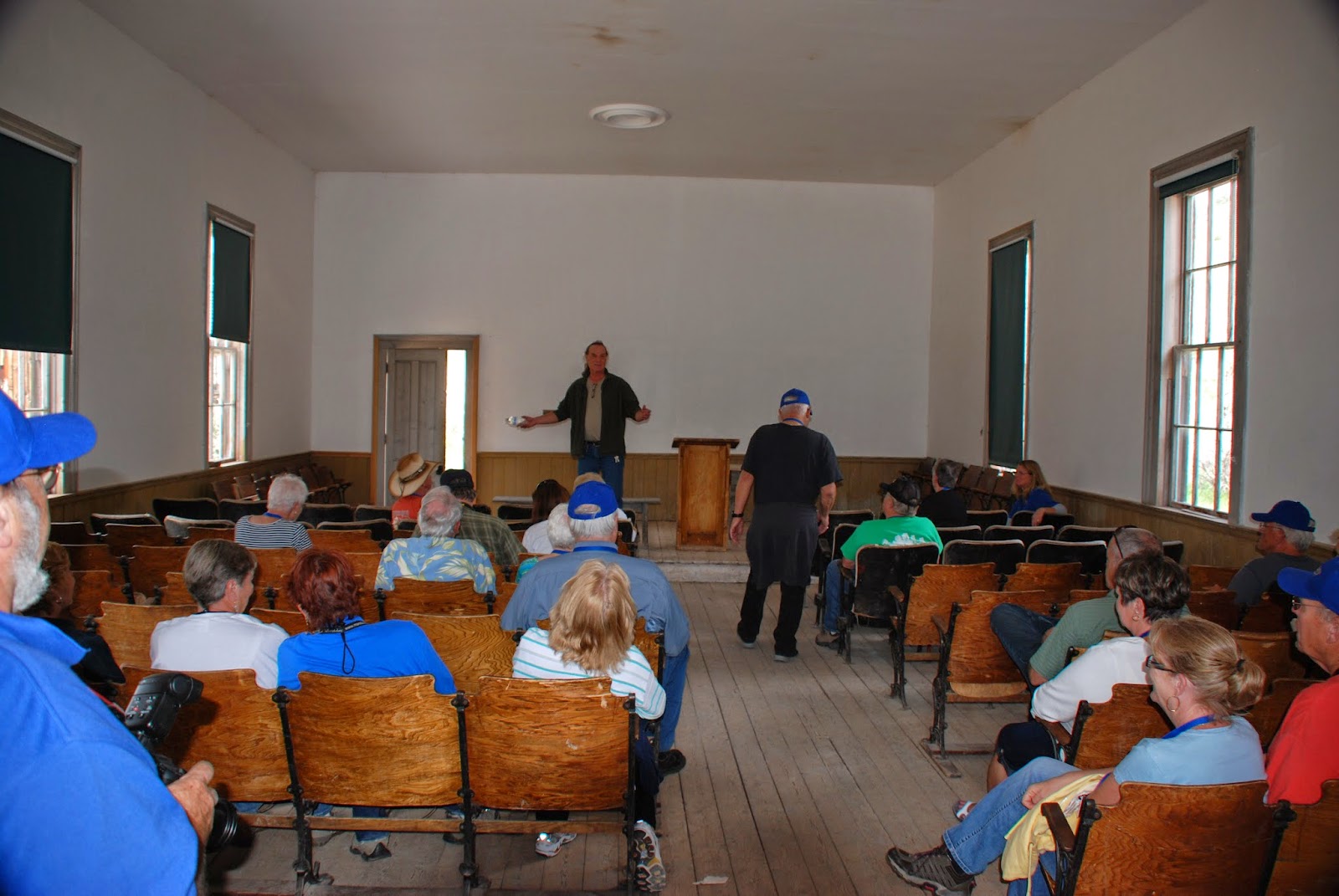
Sixty historic log and frame structures remain standing in Bannack, many quite well preserved; most can be explored. The site, now the Bannack Historic District, was declared a National Historic Landmark in 1961.

This truly is a ghost town!


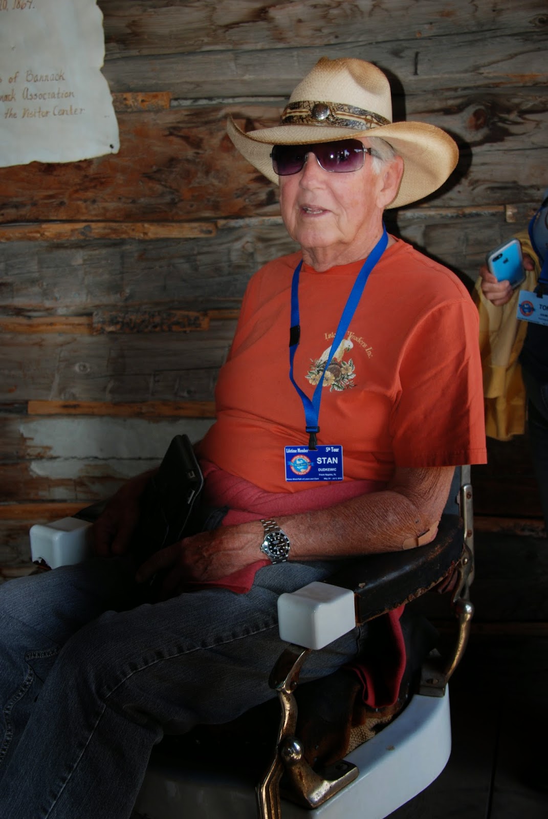
Stan looks like he's getting ready for a haircut!


Old abandoned mining equipment.


Big Hole National Battlefield
Big Hole National Battlefield preserves a Nez Perce War battlefield located in Montana, United States. The Nez Percé fought a delaying action against the 7th Infantry Regiment (United States) here on August 9 and 10, 1877, during their failed attempt to escape to Canada. This action, the Battle of the Big Hole, was the largest battle fought between the Nez Percé and U.S. Government forces in the five-month conflict known as the Nez Perce War. In 1992 the park was made a part of Nez Perce National Historical Park, which consists of 38 separate locations in five different states, following the flight of the Nez Percé tribe from the U.S. Cavalry.The Nez Perce homeland territory was in the states now known as Oregon, Washington and Idaho. In 1873, Chief Joseph negotiated with the federal government to ensure his people could stay on their land in the Wallowa Valley as stipulated in 1855 and 1863 land treaties with the U.S. government. But, in a reversal of policy in 1877, General Oliver O. Howard threatened to attack if the Indians did not relocate to an Idaho reservation that was only a small fraction of their original territory. Chief Joseph reluctantly agreed. As they began their journey to Idaho, Chief Joseph learned that three young Nez Percé men, enraged at the loss of their homeland, had massacred a band of white settlers. Fearing U.S. Army retaliation, Chief Joseph decided that the best way to avoid the official U.S. Government policy of forcing Native Americans onto reservations was to escape to Canada, where he believed that his people would be treated differently and they could unite with Sitting Bull, leader of a band of Lakota there.
Six weeks after leaving their homeland, U.S. Cavalry forces performed a predawn attack on the 800 men, women and children encamped at Big Hole. The Nez Perce mounted a fierce resistance and managed to overwhelm the attacking force, cornering them on a hillside. Meanwhile, the women and children fled the battlefield after burying their dead. During the day and a half battle, the Nez Perce lost an estimated 60 to 90 men, women and children, although it is believed that actual losses may have been much higher with a good portion being women and children. U.S. forces lost 28 and an additional 40 serious casualties. The confrontation was the most violent battle between the Nez Perce and the U.S. Government forces. After the battle the Nez Perce fled east through Yellowstone National Park, then headed north. In October 1877, only 40 miles (64 km) from the Canadian border in Montana's Bear Paw Mountains, the starving and exhausted Nez Percé surrendered to the U.S. Forces commanded by General Oliver O. Howard. Approximately 150 Nez Perce had managed to escape to Canada prior to the surrender. Upon the final surrender by Chief Joseph he was quoted as saying, "Hear me, my chiefs! I am tired. My heart is sick and sad. From where the sun now stands I will fight no more forever".

The numbers depict strategic locations throughout the field.


Step-by-Step
This is what happened!


Howitzer from battle site!
We head out again - Leaving Montana and entering Idaho!


Another evening
with a beautiful sunset!!!


WOW!!
No comments:
Post a Comment